Sonali Tiwary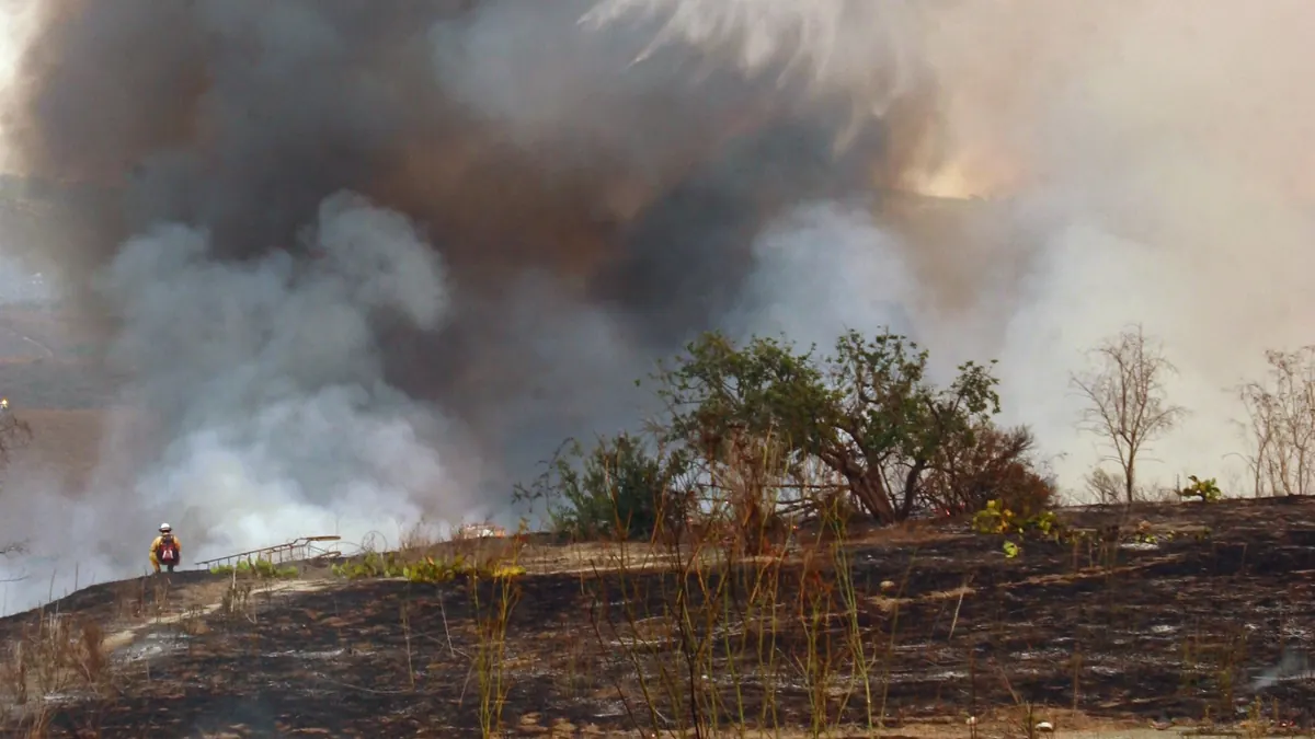
The Henderson Fire on Marine Corps Base Camp Pendleton has grown to 3,160 acres and reached 50% containment, according to the CAL FIRE and Camp Pendleton Fire Department incident log updated at 6:55 p.m. and 8:00 p.m. on October 17. The figures mark a sharp jump from the 1,404 acres and 0% containment reported in Karmactive’s original report on the fire’s start near Henderson Street and Brown Street, which first ignited at 2:35 p.m. on Thursday, October 15.
Officials have also confirmed one structure destroyed, the first reported structural loss in the incident. The acreage jump — from 2,079 acres to 3,132 and then 3,160 acres — reflects improved aerial and infrared mapping rather than new fire spread. Thick Santa Ana smoke blocked mapping aircraft on Friday, and once skies cleared Saturday, infrared imagery revealed that Friday’s northwest run through Las Pulgas Canyon had already burned roughly 1,080 more acres than ground crews could see during that day’s Interstate 5 closures.
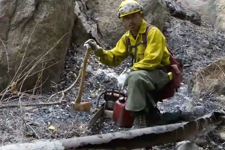
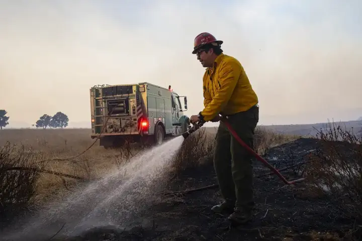
Containment climbed in step with the clearer mapping, moving from 20% to 35% and now 50%, with 654 personnel assigned, including 69 engines, two helicopters, six bulldozers, two water tenders, and 12 hand crews. CAL FIRE’s morning briefing said fire activity moderated overnight as winds eased and relative humidity increased. It also warned that grasses and other vegetation remain extremely dry and will continue to pose a fire risk until soaking rainfall arrives.
Interstate 5 through Camp Pendleton, which was closed in both directions between Harbor Drive/Vandegrift Boulevard and Basilone Road on Thursday and again Friday, has reopened to traffic. The evacuation order for the base’s 41 Area has also been lifted, though evacuation points remain active at Paige Field House and the 21 Area Fitness Center for anyone still displaced. Drivers along the Las Pulgas Canyon corridor may still encounter smoke from interior hot-spot mop-up even though forward perimeter growth has stopped.
Much of the local coverage over the past day has continued to cite the fire’s earlier 2,079-acre footprint and 20% containment level, making Saturday evening’s figures the most current available. The Henderson Fire is burning amid the same dry, windy pattern affecting the Norte Fire in Orange County, where containment has also risen sharply in recent hours.