Cold Snap Grips UK with Temperatures Dropping to -6°C
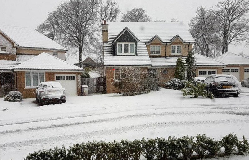
The UK is facing a severe cold snap with temperatures plummeting to as low as -6°C in parts of the country. Met Office forecasters have issued warnings for “freezing fog” as unusually cold conditions spread across the nation.
“A chilly night tonight, especially across the south where temperatures will widely drop below freezing with freezing fog patches developing by dawn,” the Met Office announced on social media yesterday.
The South of England is experiencing particularly harsh conditions, with areas like Benson in Oxfordshire recording temperatures dipping below -5°C. According to Met Office meteorologist Aidan McGivern, the northern half of the UK will see “increasing wind speeds, through Tuesday, with wind gusts of in excess of 50mph, even 60mph, in parts of northern Scotland.”
Travel Disruptions and Safety Concerns
The freezing fog has prompted serious travel warnings. Met Office Meteorologist Ellie Glaisyer cautioned: “A really quite chilly start to the working week. Also quite a foggy start too particularly across the very far south east.” She added that this “could cause some disruption during Monday morning’s rush hour” and advised travelers to “take care if you are travelling.”
Visibility has been reduced to less than 100 meters in some places, creating hazardous driving conditions. The yellow weather warning for fog remained in place until 9AM today across parts of the south coast, affecting Hampshire, Isle of Wight, Portsmouth, Southampton, West Sussex, Bournemouth, Christchurch and Poole, Dorset, and Wiltshire.
Flight delays and cancellations are possible, and the Environment Agency has issued one flood warning and 28 alerts across England.
Mixed Weather Patterns Across the Country
The weather situation varies significantly across different regions. While southern England deals with frost and fog, the central belt of Scotland has been experiencing sporadic rainfall.
Meteorologist Clare Nasir explained: “If you’re stepping out first thing this morning it’s cold outside across most of England and Wales. A frost towards the south and also some fog patches which will be fairly slow to clear. It could be murky in places if you are travelling. Further north, always more cloud… For the central belt, expect some rain this morning… again it’s fairly sporadic.”
The northwest continues to see strong winds, with gusts potentially reaching 51mph in northern Scotland today.
Five-Day Forecast
Today (March 6): Rather cloudy and windy in the north and northwest with mostly light rain affecting parts of Scotland and Northern Ireland. Fog and frost clearing elsewhere, with some spring sunshine developing.
Tonight: Cloudy and windy in the northwest, with patchy rain continuing and perhaps some heavier bursts for western Scotland. Dry and clear across much of the south and east.
Similar Posts
Thursday: Patchy rain and a brisk southwesterly breeze continues across Scotland and Northern Ireland. Sunshine elsewhere, though turning cloudier with showery rain from the west later. Milder than Wednesday.
Friday to Sunday: Showery rain developing more widely on Friday, with bright spells and showers on Saturday. Dry to start for most on Sunday although showery rain from the southwest later.

Weather Trends and Climate Context
The current freezing conditions follow a cold weekend, with some areas in the southeast recording -6.1°C on Sunday. These cold weather patterns are notable as the UK typically experiences variable weather conditions through early March.
The freezing fog and low temperatures present particular challenges for commuters and travelers, with Met Office warnings highlighting the need for caution, especially on roads where visibility is severely reduced.