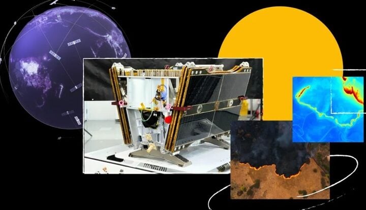
The new method, leveraging the capabilities of AI and satellite data, marks a significant leap from the traditional methods reliant on meteorological stations and manual measurements. The system uses Sentinel-2 satellite imagery from the European Space Agency, providing optical and infrared images with an impressive resolution of up to 10 by 10 meters per pixel. This advancement allows for a detailed observation of snow cover and its variation over time.
Konrad Schindler, Professor of Photogrammetry and Remote Sensing at ETH Zurich, highlights the technology’s efficiency, stating, “Our maps allow the viewer to zoom in to 10 by 10 metres to read the snow depth.” This fine granularity in measurement is a substantial improvement over the existing methods, which offer an effective resolution of around 250 by 250 meters.
The implications of this technological advance extend far beyond mere data accuracy. With climate change causing significant fluctuations in snowfall patterns, this AI-assisted system provides crucial data for hydrology, avalanche risk assessment, and winter sports safety. It ensures more reliable information for stakeholders such as the winter tourism industry, hydropower plant operators, and environmental researchers.
The research integrates terrain data from swisstopo, the Swiss Federal Office of Topography, acknowledging the role of topography in snow distribution. This interdisciplinary approach, combining meteorology, AI, remote sensing, and topography, exemplifies the power of collaborative efforts in addressing complex environmental issues.
Similar Posts
The new technology resonates with a broad range of users, from winter sports enthusiasts to environmental scientists. It offers an enhanced understanding of snow depth and its variability, essential for planning and safety in mountainous regions.
The AI system underwent rigorous training using data from both satellite imagery and terrain features. It learned to correlate the visual indicators from the images with actual snow depth measurements, adapting to the nuances of Switzerland’s diverse landscape. The system was fine-tuned with high-precision data from the Dischma valley, collected by the Swiss Federal Institute for Forest, Snow and Landscape Research WSL.
Looking ahead, the technology developed by ETH Zurich and ExoLabs sets the stage for more accurate environmental monitoring globally. Its application could extend to other mountainous regions, offering vital data for managing water resources and understanding environmental changes.


