The Montana Department of Natural Resources and Conservation (DNRC) launched an interactive public access map, revealing stark realities about accessibility of state trust lands. Someone who should have covered public land issues for a long time might understand its importance, as this digital tool brings precise data to what many outdoor enthusiasts have long waited.
“Montana was recently named the best state in the nation for outdoor enthusiasts and this new map will serve as a great tool for folks to get out and explore hunting and recreational opportunities across the Treasure State,” Governor Greg Gianforte said in the official announcement.
No Man’s Land?
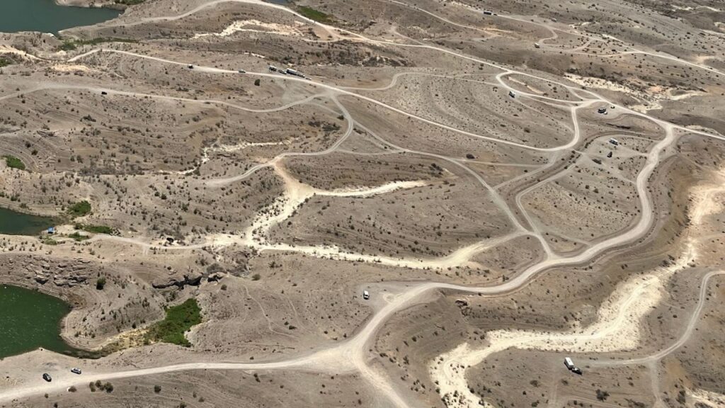
1.56 million acres of Montana’s 6.35 million acres of state trust lands remain inaccessible without private landowner permission. These “landlocked” parcels dominate central and southeastern Montana’s landscape, where private ranches encircle state sections.
“These working lands are a vital component to Montana’s farming and ranching, forest products, and energy industries,” DNRC Director Amanda Kaster explained.
The state requires an $8 conservation license ($10 for non-residents) for recreation on trust lands. In 2023, lease fees from these lands contributed $335 million in FY 2022 to Montana’s K-12 education system—a fraction of the state’s $2.3 billion budget allotted to education.
The DNRC defines public accessibility through specific criteria:
- Legal walk-in access via adjacent public or trust land
- Motorized access through public or designated open roads
- Water access under Montana’s Stream Access Law
- Special scenario parcels requiring additional research
More Stories
The all-in-one Map
“Recreating on state trust land is a shared responsibility,” said Jessica Hoag, DNRC recreational use and public access coordinator. “Everyone plays a part in caring for the land to ensure future generations can enjoy the benefits.”
The DNRC’s mapping tool marks a shift in public land management transparency. Yet it also exposes ongoing tensions between revenue generation, conservation, and public access rights.
The map denotes accessible state lands with blue borders and inaccessible lands with red borders and includes:
- Fire restrictions
- Stream access information
- Block Management agreements
- Direct conservation license purchase options
- Special use restrictions
- Cultural resource protection guidelines
Montana’s mapping initiative arrives amid broader Western public lands debates. Eleven states, including Wyoming, have joined Utah’s lawsuit seeking state control over federal lands. Critics worry state budget constraints could force land sales to meet constitutional revenue requirements for education funding.









![Representative Image: European Starling [49/366]. Photo Source: Tim Sackton (CC BY-SA 2.0)](https://www.karmactive.com/wp-content/uploads/2025/04/Starlings-Drop-82-in-UK-Gardens-as-Birdwatch-2025-Reveals-Record-Low-Count-Since-1979-720x480.jpg)
