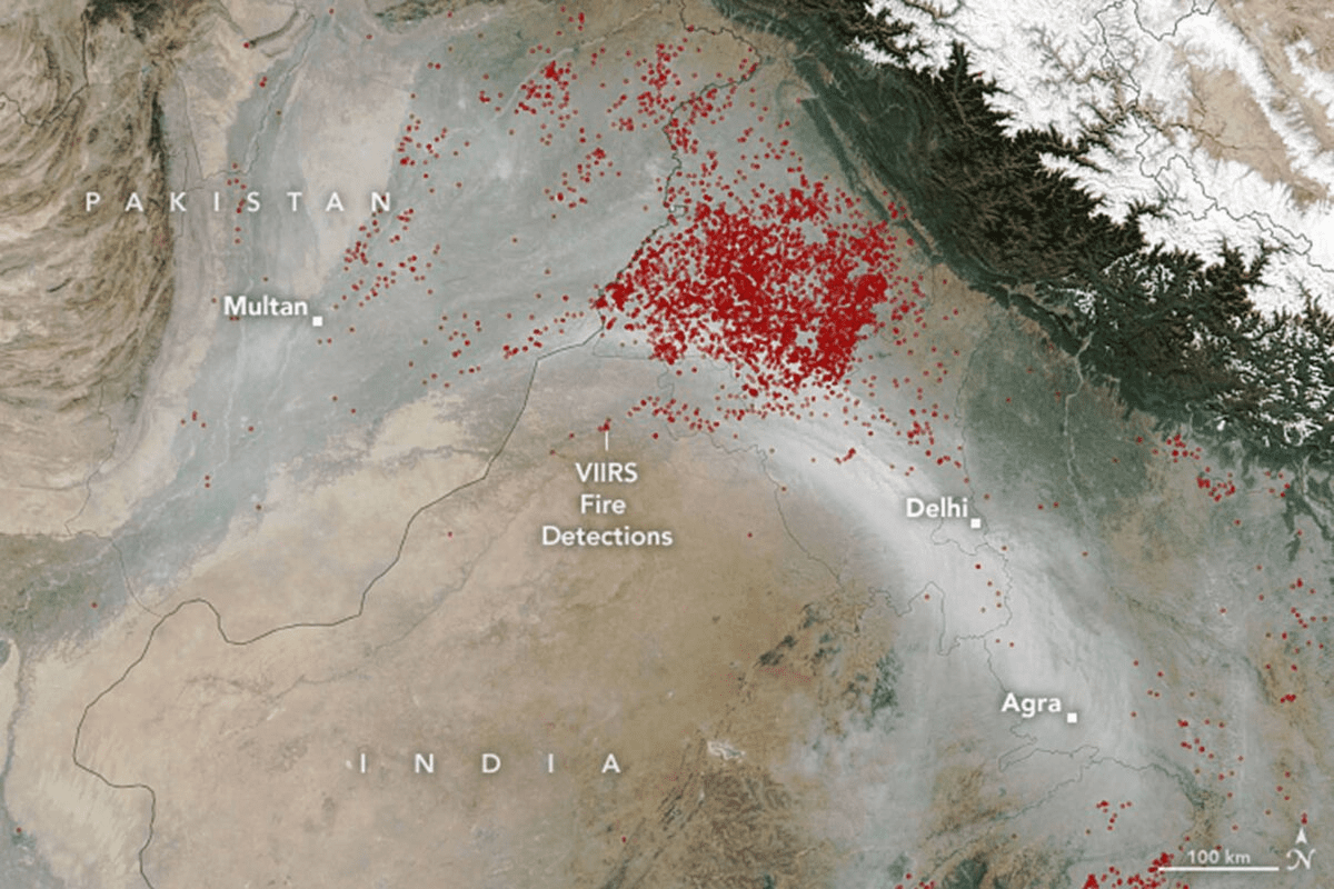
The Visible Infrared Imaging Radiometer Suite (VIIRS) on the Suomi NPP satellite captured this natural-color image on November 11, 2021. A river of smoke from fires in Punjab and Haryana is seen flowing towards Delhi, India’s capital city. The hotspots observed by VIIRS are evident in the images. Crop fires in northern Pakistan added some of the smoke as well.
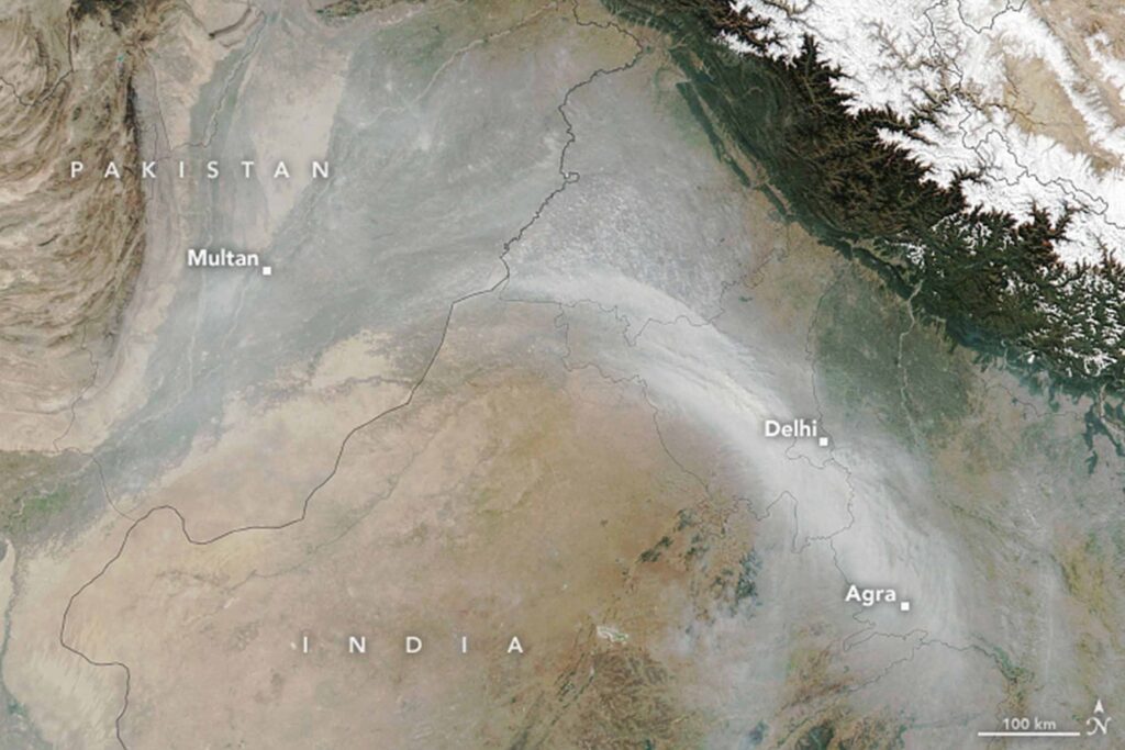
“Looking at the size of the plume on November 11 and the population density in this area, I would say that a conservative estimate is that at least 22 million people were affected by smoke on this one day,” – Pawan Gupta, Universities Space Research Association (USRA) scientist, Marshall Space Flight Center, NASA.
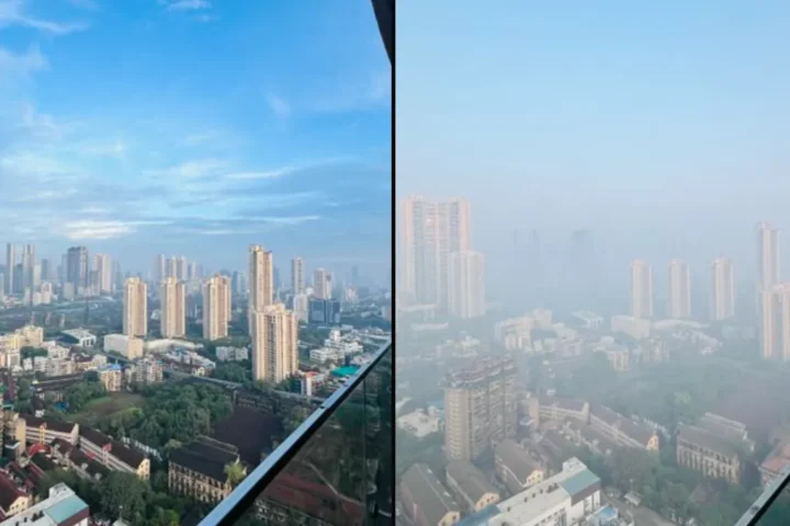
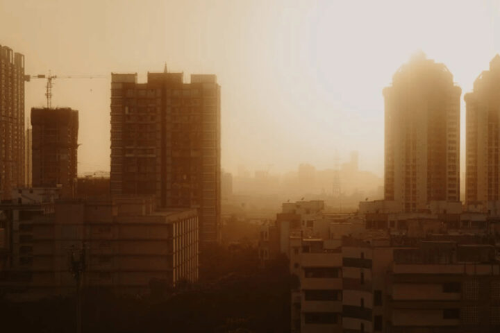
Many farmers, like in the states of Punjab and Haryana, use fire as a quick way to clean up and fertilize fields before planting winter wheat crops. The rise in fires around the densely populated Northern Indian cities deteriorates air quality by November and December.
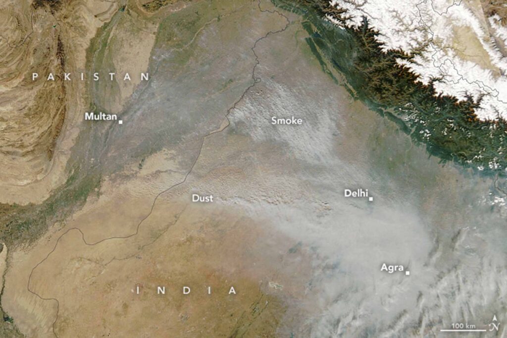
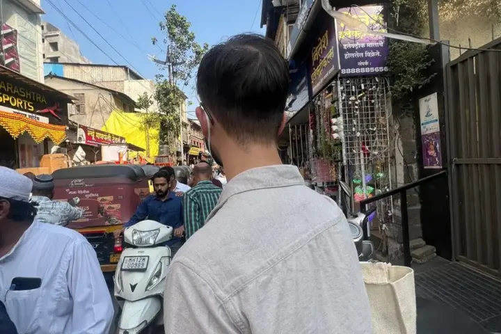
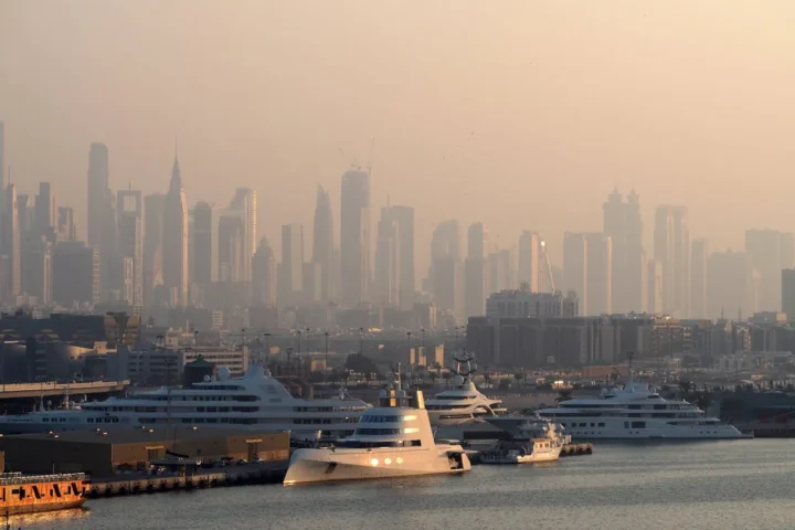
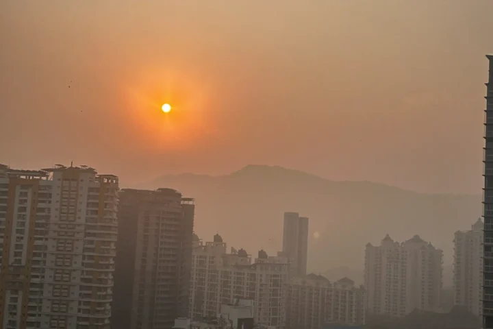
Crop fires are not the only contributor to the hazy skies. Dust from Thar Desert sometimes adds to the pollution. An image captured on November 12, 2021 clearly shows the dust flowing towards the east. Multiple human-caused sources of air pollution in & around the cities, like motor vehicle fumes, industrial and construction activity, fireworks, and fires for heating and cooking also produce particulate matter and many other pollutants.
