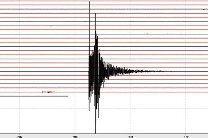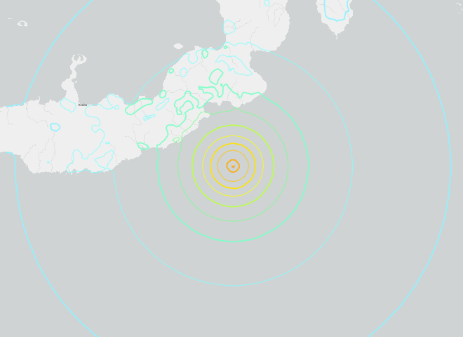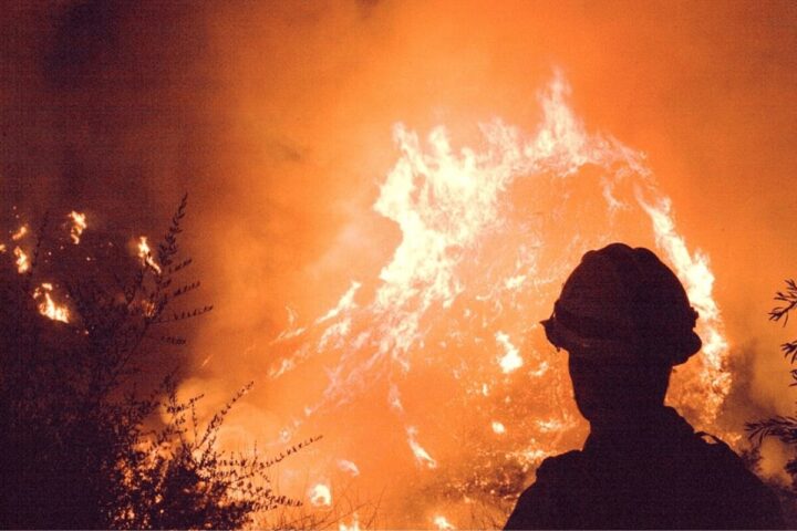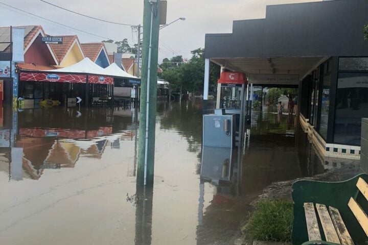
That December 5th rumble off Humboldt County’s coast wasn’t just another earthquake—it triggered tsunami warnings that sent millions of Northern Californians scrambling. While the resulting wave measured a mere 5 centimeters at Arena Cove, the event laid bare an uncomfortable truth: many Californians have zero idea whether they live, work, or play in tsunami danger zones.
Let’s fix that.
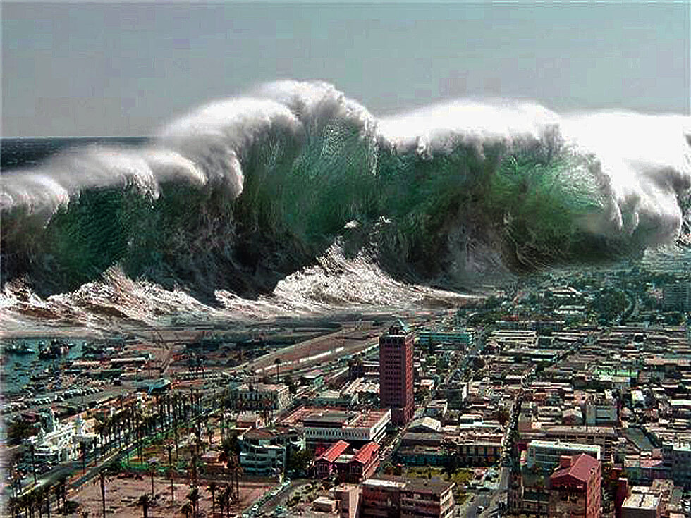
The Hard Truth About California’s Tsunami Risk
California’s relationship with tsunamis is complicated. We’re not facing daily threats like some Pacific Rim locations, but our risk isn’t theoretical either. The California Geological Survey (CGS) has spent years updating hazard maps, and what they’ve found might surprise you:
- Tsunami zones aren’t just beachfront property. These danger areas extend into bayside communities, riverside areas, and low-lying urban spaces you might not expect.
- Two distinct tsunami scenarios threaten California: distant-source events (like Alaskan earthquakes) that give us hours of warning, and near-shore quakes that could send waves crashing into communities with almost no warning.
“While damaging tsunamis are infrequent in California, they have and do happen. If you live on or visit the coast, you need to be aware of this potential hazard,” said Steve Bohlen, former head of the California Geological Survey, when updated tsunami hazard maps were released.
What the New Maps Reveal: Your Neighborhood Might Be at Risk
Between 2020 and 2022, CGS published updated tsunami hazard maps for multiple counties, including San Diego, Santa Cruz, Ventura, Marin, Sonoma, Solano, and Napa. These aren’t just minor tweaks—they represent a fundamental shift in how scientists assess tsunami danger.
After Japan’s devastating 2011 tsunami, California scientists took “a very conservative approach” to mapping, considering thousand-year scenarios to avoid “the tragic loss of life experienced in Japan,” according to Bohlen.
The revised projections are sobering:
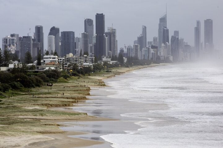
- Southern California: Marina del Rey, Long Beach, and the nearby ports could see flooding up to 15 feet above sea level. The hazard zone now includes parts of Ocean Boulevard, Belmont Shore, Malibu, Santa Monica, Venice, Hermosa Beach, Redondo Beach, and San Pedro.
- Northern California: Oakland, Berkeley, and Alameda could face inundation up to 18 feet. Humboldt Bay and Eureka might see surges reaching 30 feet, while Crescent City and Cayucos could experience flooding up to a staggering 50 feet.
- San Francisco: The Financial District, North Beach, and areas south of the Embarcadero—including BART and Muni stations—now fall within expanded hazard zones due to “very low land elevations that could be impacted by a small increase in waterfront flooding,” according to CGS.
Similar Posts
Coastal hotspots like Santa Monica Pier, Long Beach’s Naples Island, Newport’s Balboa Island and Peninsula, Sunset Beach, Seal Beach, and parts of San Diego and Coronado all sit within tsunami hazard zones. Tourist destinations from Malibu to Santa Barbara’s waterfront, the Monterey Bay Aquarium, and sections of Santa Cruz are similarly vulnerable.
The Minutes That Matter: Tsunami Timing is Everything
The greatest danger comes from earthquakes just offshore. Following a major North Coast quake, residents might have as little as 10 minutes to reach safety. A rupture along the Point Reyes thrust fault could send waves to San Francisco within just 10 minutes.
“You have to use the earthquake as your warning, because the alert system takes time to process,” explained Ryan Aylward, Warning Coordination Meteorologist for the Eureka National Weather Service. He notes that 95-98% of Humboldt County residents can reach high ground within that crucial 10-minute window—if they move immediately.
Distant tsunamis offer more breathing room. A hypothetical magnitude 9.3 quake near Alaska’s eastern Aleutian Islands would give the Bay Area about five hours and Los Angeles about six hours to prepare—still not enough time for complacency.
Know Your Zone: The Life-Saving First Step
The foundation of tsunami preparedness is knowing whether you’re in a hazard zone. Check your address at conservation.ca.gov/cgs/tsunami/maps.
Humboldt County residents can access detailed evacuation maps at rctwg.humboldt.edu/tsunami-hazard-maps.
“That is the No. 1 reason why people need to understand what their hazard zone is ahead of time,” emphasized Dave Snider, tsunami warning coordinator at the National Tsunami Warning Center in Alaska.
Tsunami Preparedness Week: California’s Push for Readiness
California’s annual Tsunami Preparedness Week (March 22-30, 2025) aims to build public awareness through community drills, evacuation practice, and education.
The North Coast Tsunami Drill on March 26, 2025, involving Humboldt, Del Norte, and Mendocino counties, demonstrates ongoing commitment to preparedness. Participants practice walking evacuation routes—a crucial detail since driving during a tsunami evacuation could prove deadly due to congested roadways.
The Humboldt County Department of Health & Human Services (DHHS) conducts walking drills for staff working in tsunami zones to build “muscle memory” for reaching higher ground quickly.
Five Critical Steps to Survive a Tsunami
- Register for alerts: Sign up for local emergency notification systems like AlertSanDiego or Humboldt Alert. Monterey County residents should register at alertmontereycounty.org.
- Know the natural warnings: Strong or prolonged shaking, sudden sea level changes, or a loud ocean roar are your cues to move inland immediately—don’t wait for official warnings.
- Plan your escape route: Identify paths to higher ground—ideally 100 feet above sea level or one mile inland. The Santa Monica Pier evacuation might simply mean moving to nearby bluffs, while other areas require more complex planning.
- Understand tsunami behavior: Tsunamis aren’t single crashing waves but powerful surges arriving hours apart, behaving more like fast-rising floods than typical ocean waves.
- Prepare a “go bag”: Pack essential medications, water, food, important documents, and first-aid supplies—items recommended by emergency preparedness guidelines for tsunami readiness.
The Economic Stakes Are Enormous
What’s missing from many tsunami discussions is the economic impact. A 2013 U.S. Geological Survey report simulated a hypothetical mega-earthquake off Alaska’s coast and found it could devastate Los Angeles’ port complex and cause widespread economic losses statewide.
The USGS Science Application for Risk Reduction (SAFRR) tsunami scenario outlines potential damages to critical infrastructure like ports and marinas, with economic losses potentially reaching billions of dollars.
This economic reality underscores why California has invested in updated mapping and preparedness efforts—the human and financial costs of being unprepared are simply too great.
Technology’s Role in Tsunami Safety
Modern tsunami detection utilizes Deep-ocean Assessment and Reporting of Tsunamis (DART) buoys operated by the National Oceanic and Atmospheric Administration (NOAA). These instruments detect tsunami waves as they travel across the ocean, providing crucial data to the National Tsunami Warning Center.
This technology, along with seismic sensors and tide gauges, forms a comprehensive detection network that can provide life-saving advance warnings for distant-source tsunamis.
Digital resources like TsunamiZone.org offer interactive maps and preparation resources, helping communities better understand and mitigate their tsunami risk.
The Psychology of Tsunami Preparedness
The December 2024 tsunami warning, while not resulting in a major event, likely caused considerable anxiety for many residents. Preparedness and education can help mitigate psychological impacts by empowering people with knowledge and a sense of control during these frightening situations.
As Aylward advised regarding the North Coast Tsunami Drill: “The whole idea is just to go through the motions. Think about what we learned on December 5, and now enact it.”
The Bottom Line: Quick Action Saves Lives
“The bottom line is, if you’re near the coast and feel strong shaking from a local earthquake or get an official notification to evacuate, move inland as soon as possible,” said Rick Wilson, former senior engineering geologist with the California Geological Survey tsunami unit.
This simple advice, backed by California’s extensive mapping and preparedness programs, represents your best chance of survival when tsunami waves threaten the Golden State’s shores.
Tilly Smith, a 10-year-old British girl vacationing in Thailand in December 2004, saved numerous lives by recognizing tsunami warning signs she had recently learned in school. Her quick action in alerting others demonstrates that education truly is the key to survival.
California’s tsunami risk is real. The maps are clear. The science is sound. Now it’s up to you to know your zone and be ready to move when seconds count.

Resources:
- California Tsunami Hazard Maps: conservation.ca.gov/cgs/tsunami/maps
- Redwood Coast Tsunami Work Group: rctwg.humboldt.edu
- TsunamiZone.org: tsunamizone.org/california
- AlertSanDiego: readysandiego.org/alertsandiego