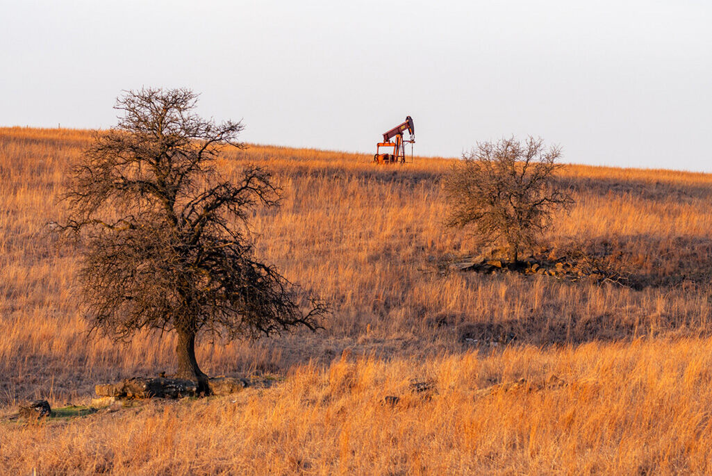
In the sprawling expanse of America’s oil fields, a pressing environmental challenge lurks beneath the surface. Hundreds of thousands of abandoned oil and gas wells, remnants of 170 years of commercial drilling, pose serious environmental and safety risks. These undocumented orphaned wells (UOWs) leak methane – a greenhouse gas 28 times more potent than carbon dioxide – and release toxic substances into water sources and air.
The Interstate Oil and Gas Compact Commission’s 2021 report estimates between 310,000 and 800,000 undocumented orphaned wells exist across the United States. With the contiguous U.S. spanning over 3 million square miles, locating these wells has been an insurmountable task – until now.
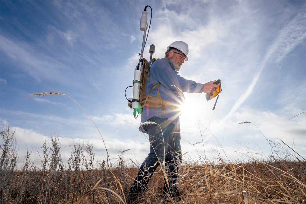
Scientists at Lawrence Berkeley National Laboratory have developed an artificial intelligence system that analyzes historical U.S. Geological Survey maps to identify potential UOWs. The AI has already discovered 1,301 potential undocumented wells in California and Oklahoma counties.
“While AI is a contemporary and rapidly evolving technology, it should not be exclusively associated with modern data sources,” says Fabio Ciulla, postdoctoral fellow at Berkeley Lab and lead author of the study published in Environmental Science & Technology. “AI can enhance our understanding of the past by extracting information from historical data on a scale that was unattainable just a few years ago.”
Similar Posts
The research draws from 190,000 digitized USGS topographic maps created between 1884 and 2006. These geotagged maps use consistent symbols – hollow black circles – to mark oil and gas wells. The AI system learns to identify these symbols while filtering out false positives like cul-de-sacs or circular letters.
“This problem is equivalent to finding a needle in a haystack, since we are trying to find a few unknown wells that are scattered in the midst of many more documented wells,” explains Charuleka Varadharajan, Berkeley Lab scientist and senior study author.
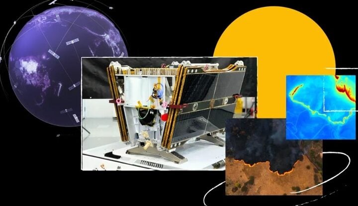
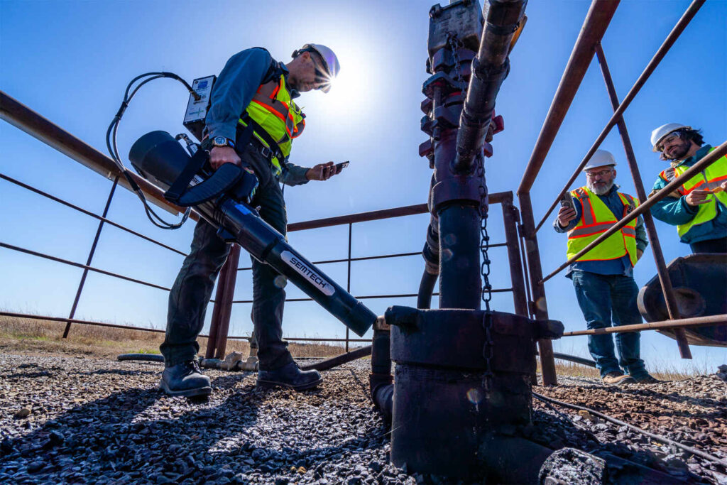
The verification process combines satellite imagery analysis with field surveys using magnetometers to detect buried metal well casings. Of the potential sites identified, researchers have confirmed 29 wells through satellite imagery and 15 through field surveys.
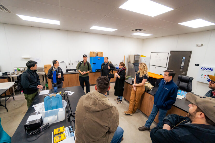
The project forms part of the Consortium Advancing Technology for Assessment of Lost Oil & Gas Wells (CATALOG), led by Los Alamos National Laboratory. The consortium includes teams from Berkeley Lab, Lawrence Livermore National Laboratory, the National Energy Technology Laboratory, and Sandia National Laboratories.
Craig Walker, director of Osage Nation Natural Resources, reports positive results: “Utilizing AI and state-of-the-art detection equipment has filled data gaps in records and led to the discovery of some undocumented wells in the area, and has streamlined various processes within the Osage Nation Orphan Well Program.”
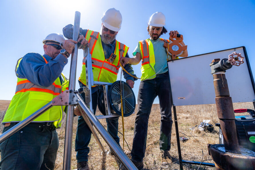
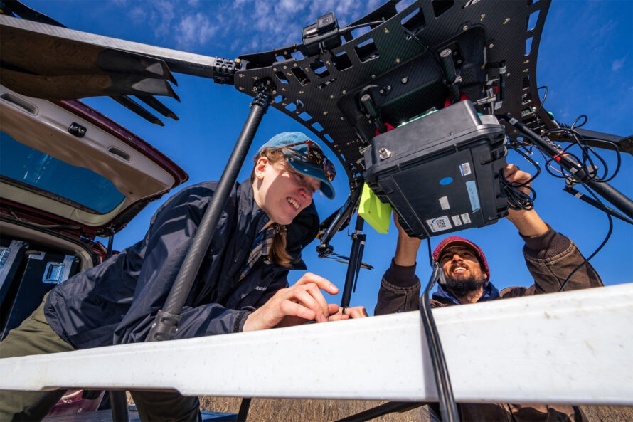
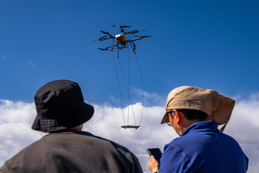
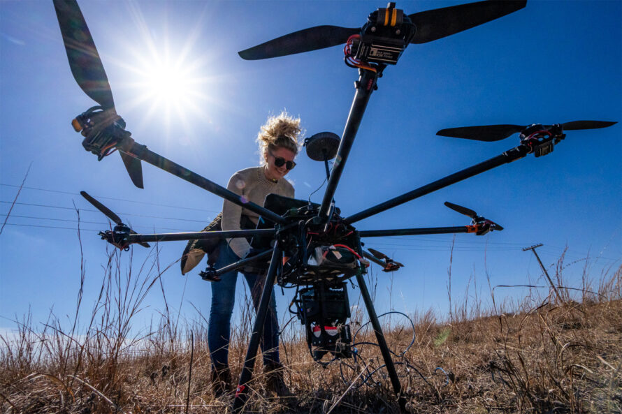
The consortium employs multiple detection methods. Drones equipped with sensors conduct aerial surveys. Some carry magnetometers suspended on 9-foot cables to avoid electronic interference. Others use methane sensors or hyperspectral cameras to detect invisible methane plumes. Berkeley Lab researchers are developing technology to locate wells with wooden casings or where metal has been removed.
The initiative also addresses methane quantification. “There’s a requirement now to quantify emissions before and after plugging an oil and gas well,” notes Sebastien Biraud, who leads CATALOG at Berkeley Lab. “Both because you want to make sure the plugging is done right, and you also want to quantify the impact of the program itself on our climate mitigation strategies.”
The environmental stakes are high. Early wells often received questionable plugs or were left open, allowing oil, gas, brine, or chemicals to escape. Proper plugging involves filling boreholes with cement to prevent contamination of water sources and methane release.
As this technology advances, the consortium aims to create affordable, widely applicable tools for well detection and methane measurement. The work continues in collaboration with Native American tribes, the U.S. Forest Service, and the U.S. National Parks Service.
