The Arctic Ocean is experiencing extreme carbon dioxide emissions due to runoff from one of the biggest rivers in North America. The world’s smallest ocean is more powerful than what it weighs when it comes to impacting climate change. New research indicates that section of the Arctic Ocean releases more carbon dioxide (CO2) than it takes in due to melting permafrost and carbon-rich discharge from Canada’s Mackenzie River.
The cold waters of the arctic absorbs 180 million metric tons of carbon per year, which is three times more than what New York city emits per year. Which makes it one of the critical carbon sinks of the earth. The recent study reveals that scientists are using cutting-edge computer modeling to examine rivers like the Mackenzie, which empties into the Beaufort Sea, a section of the Arctic Ocean.
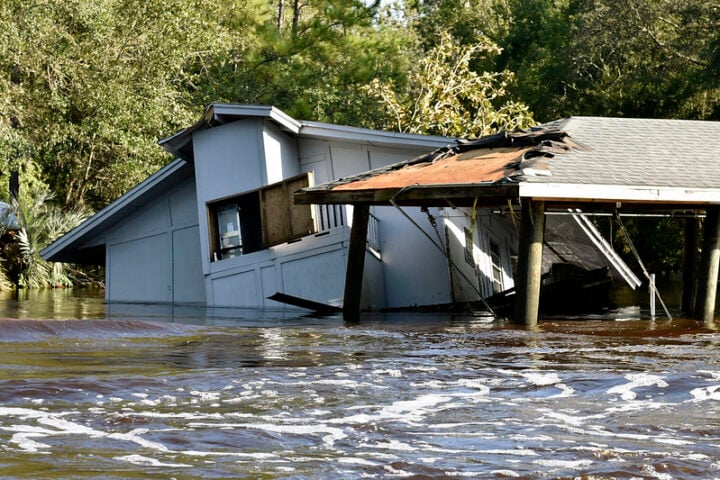
In the recent years, it has been evident that no corner of our globe is immune from the devastating consequences of climate change. Rising temperatures are fueling environmental degradation, natural disasters, extreme weather, sea level are rising, the arctic is melting, coral reefs are dying, oceans are acidifying, and forests are burning. It is also clear why. Billions of tons of CO2 are released every year as a result of human activities.
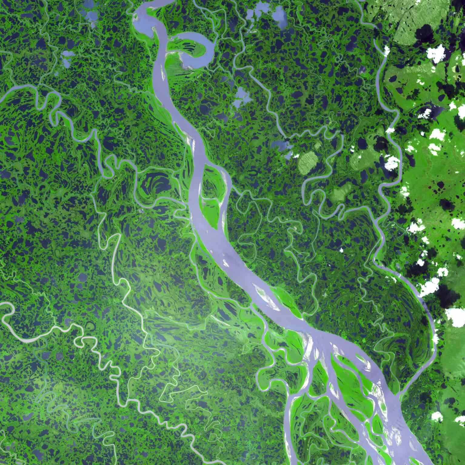
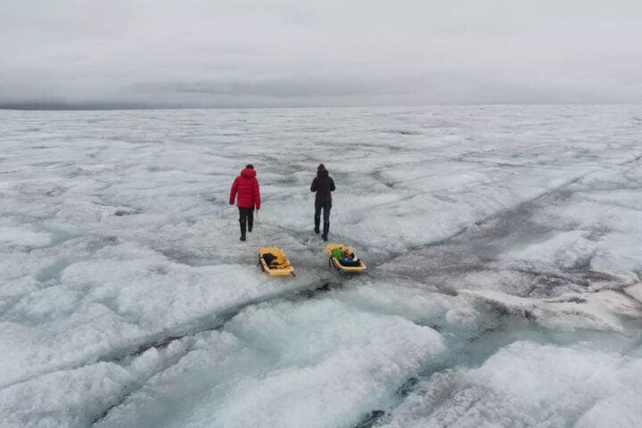
The Mackenzie River and its delta have faced significantly warmer temperatures in recent years, as does many other parts of the arctic. This is causing more streams and landscapes to defrost and melt. The continent’s second-largest river system comes to an end here in the swampy Northwest Territories of Canada, after a thousand-mile trip that started close to Alberta. The river transports both organic and inorganic materials and mineral nutrients throughout its course like a conveyor belt. That stuff runs off as a sediment and dissolved carbon soup into the Beaufort Sea. Eventually, natural processes cause some of the carbon to be released, or outgassed, into the atmosphere.
According to scientific theory, the southeast Beaufort Sea is a weak-to-moderate sink of carbon dioxide, meaning it takes in more of the gas than it emits. However, because there aren’t enough data from the far-off area, there has been a lot of ambiguity.
The research team adapted a global ocean biogeochemical model called ECCO-Darwin in order to fill that space. This was developed at NASA’s Propulsion Laboratory in Southern California and the Massachusetts Institute of Technology in Cambridge. The model includes almost all of the ocean measurements that have been gathered over the course of more than 20 years by satellite and sea-based equipment (such as ocean-bottom pressure data from the GRACE and GRACE Follow-On missions and sea level observations from the Jason series of altimeters).
Similar Posts
The freshwater discharge and the components and compounds, it contains such as carbon, nitrogen, and silica, were simulated by the scientists during a roughly 20-year period (from 2000 to 2019) using the model.
The river discharge was causing such intense outgassing in the southeast Beaufort Sea, according to scientists from France, the United States, and Canada, that it tipped the carbon balance and resulted in a net discharge of CO2 of 0.13 million metric tons annually, or roughly the same amount as the yearly emissions from 28,000 gasoline-powered cars. Seasons affected how much CO2 was released into the atmosphere; during warmer times of year, when river flow was higher and there was less sea ice to cover and trap the gas, the release was more evident.
The center of Climate change The process known as air-sea CO2 flux is the study of the decades-long carbon cycle that occurs between the atmosphere and the open ocean. However, the observational record is thin at the Arctic’s coastal edges, where long-term experiments and monitoring may be difficult due to the terrain, sea ice, and long northern nights.
With our model, we are trying to explore the real contribution of the coastal peripheries and rivers to the Arctic carbon cycle. Clement Bertin, lead author a scientist at Littoral Environment at Sociétés in France.
These understandings are crucial as coastal waters, which form the intricate embrace where land and sea meet, make up over half of the Arctic Ocean’s total area. Furthermore, despite the study’s narrow emphasis on a specific area of the Arctic Ocean, it can contribute to a broader narrative about the region’s ongoing environmental change.
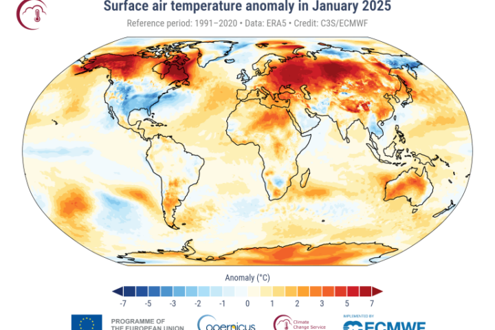
According to experts, the Arctic has warmed at least three times as quickly as any other place on Earth during the 1970s, changing its waters and ecosystems. While some of these modifications encourage the region to release more CO2, others cause the region to absorb more CO2. Because our ocean waters continue to be a vital barrier against a changing climate, sequestering up to 48% of the carbon created by burning fossil fuels, scientists are monitoring these significant and seemingly insignificant changes in the Arctic and beyond.
