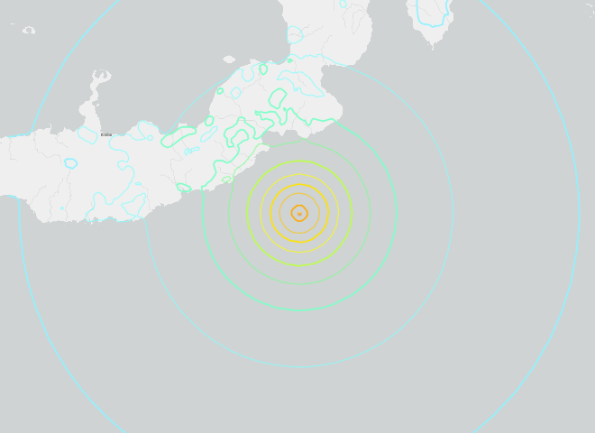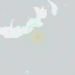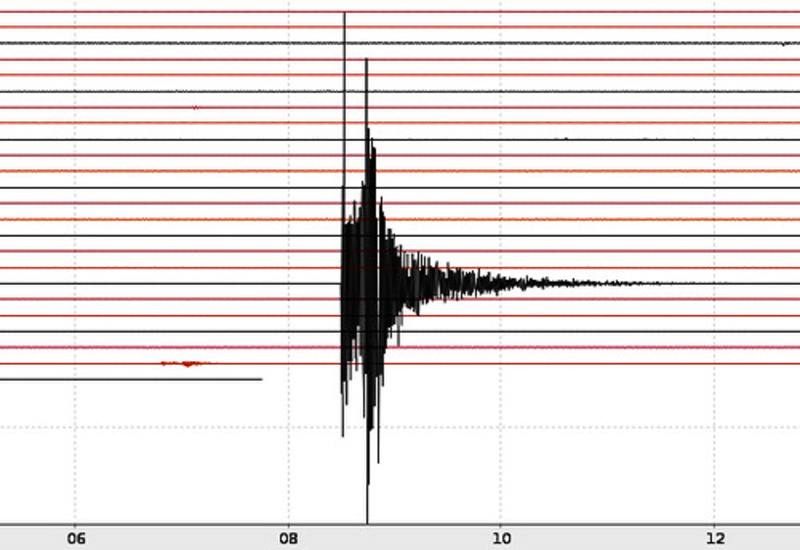
A strong earthquake shook the region south of the Fiji Islands early Monday morning, measuring 6.5 on the Richter scale. The tremor hit at 8:03 AM local time on April 14, 2025, deep below the ocean floor at 174 kilometers (108 miles) depth.
People in Lautoka and nearby islands felt the ground shake, but the earthquake’s significant depth prevented major damage. No immediate reports of damage or casualties have been received, likely due to the substantial depth of the earthquake.
The tremor was followed by a second 6.1 magnitude earthquake in the same area shortly afterward. Both seismic events occurred in the waters between Fiji and New Zealand.
Similar Posts
“No tsunami was generated,” confirmed the Australian Bureau of Meteorology, echoing the US Tsunami Warning System’s assessment that coastal communities faced no threat of dangerous waves.
Fiji sits within the Pacific Ring of Fire where earthquakes happen regularly due to shifting tectonic plates. The Indo-Australian Plate sliding beneath the Pacific Plate causes these movements. The Kermadec Trench, a deep underwater valley stretching from New Zealand toward Fiji, marks this active geological boundary.

While earthquakes are common in Fiji, this one’s unusual depth helped protect surface communities from serious effects. Deep earthquakes typically cause less violent shaking over wider areas compared to shallow tremors of similar strength.
Fiji has established the National Disaster Management Office (NDMO) to coordinate preparedness, response, and recovery efforts. For Fijians, earthquake awareness remains an important part of everyday life in this geologically active Pacific region.