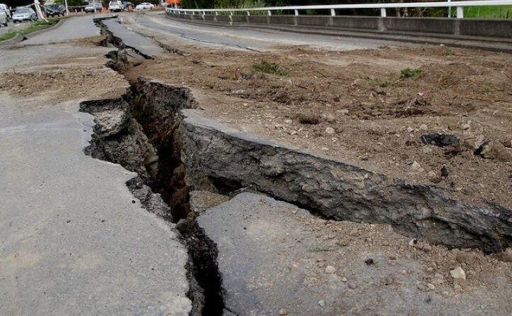
Time and tide wait for no one. But if we could get advance info about a possible disaster like an earthquake, it would be a blessing. A new research has found that unusually high land temperatures and levels of greenhouse gasses in the air were observed in Turkey days before two earthquakes struck the country on February 6, 2023. According to Professor Mehdi Akhoondzadeh from the University of Tehran, and lead author of the study, “the creation of an earthquake early warning system is not far from reach.”
Professor Akhoondzadeh said that monitoring the ground and atmosphere for unusual physical and chemical parameters from November 1, 2022, to February 10, 2023, could be part of an early warning system for earthquakes. These parameters are known as earthquake precursors. More than 50,000 people died due to earthquakes that hit Turkey and Syria. The magnitude of those earthquakes was at least 7.6. The time gap was about 9 hours.
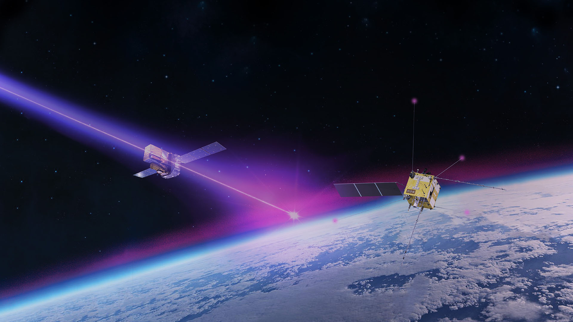
Akhoondzadeh’s team studied the data provided by satellites about abnormalities in temperature and electron density throughout the Earth’s system. It consisted of water vapor, methane, ozone, CO (carbon monoxide), and AOD (aerosol optical depth) present in the atmosphere. Professor Akhoondzadeh found, interestingly enough, lithospheric anomalies (on the ground) 19-12 days before the earthquake. He detected most of the atmospheric anomalies, with ionospheric anomalies appearing 5-1 day before it finally struck. “One of the main challenges of creating earthquake early warning systems is the uncertainty of the mechanism of occurrence of earthquake precursors in different layers of the earth (LAIC) and their with each other,” Prof. explained.
Similar Posts
Professor Akhoondzadeh also admits, “it is necessary to investigate and evaluate several earthquakes (statistical analysis). In other words, increasing observations leads to further reduction of uncertainty and systematic and random errors.” However, this study does seem to suggest that using a variety of remote-sensing satellites could help us study and identify earthquake precursors over 2 weeks in advance. It is befitting to note here that the city of Haicheng in China was evacuated weeks in advance before a 7.3 earthquake due to abnormal animal behavior along with other signs.
The Tehran University Professor stated, “It is also necessary to mention that before the occurrence of powerful earthquake in Turkey, the solar and geomagnetic indices show abnormal variations, which is necessary to investigate the hypothesis of the relation between solar-geomagnetic activities and the occurrence of large earthquakes in this study area in the future studies.” In short, according to a new study carried out at the University of Tehran, an earthquake could be predicted about 19 days in advance in the future.
